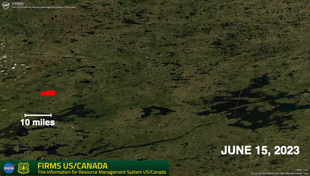
In the ongoing battle against wildfires, a new arsenal of spaceborne tools is poised to revolutionize fuel management and mitigation strategies. Researchers, led by Rodrigo V. Leite from NASA’s Goddard Space Flight Center in Greenbelt, Maryland, are harnessing the power of next-generation satellite technology to enhance our understanding and management of fuel loads—critical components in wildfire behavior and spread.
Leite and his team have identified several cutting-edge sensors launched in recent years that promise to significantly improve fuel characterization over vast areas. These sensors, with their high spatial and spectral resolution, offer unprecedented insights into vegetation structure, chemical composition, and moisture dynamics—all key factors in predicting and managing wildfires.
One of the most promising technologies is lidar, which uses laser pulses to create detailed 3D maps of vegetation structure. “Lidar data allows us to see the forest in a whole new way,” Leite explains. “We can now accurately measure the height, density, and vertical structure of vegetation, which are crucial for understanding fuel loads and potential fire behavior.”
Hyperspectral sensors are another game-changer. These instruments capture data across hundreds of narrow spectral bands, enabling scientists to identify specific chemical compounds and plant species. This information is invaluable for assessing fuel moisture content and composition, which directly influence fire intensity and spread.
Multispectral and synthetic aperture radar (SAR) sensors provide dense time series data, allowing researchers to map phenology—the seasonal changes in vegetation—and monitor moisture dynamics. This temporal data is essential for tracking changes in fuel loads over time and predicting periods of heightened fire risk.
The commercial implications for the energy sector are substantial. Wildfires pose a significant threat to energy infrastructure, from power lines and substations to renewable energy installations. Enhanced fuel management strategies, informed by these advanced satellite observations, can help energy companies mitigate risks, reduce outages, and protect critical assets.
Looking ahead, several upcoming hyperspectral and radar missions promise to deliver even more valuable data. However, the sheer volume of information generated by these sensors presents a challenge. Leite emphasizes the need for seamless cyberinfrastructure and community engagement to ensure these datasets are accessible and usable by a diverse range of stakeholders.
The research, published in Remote Sensing in Ecology and Conservation, translates to “Remote Sensing in Ecology and Conservation” in English, underscores the potential of these new tools to transform wildland fire management. As Leite puts it, “We’re on the cusp of a new era in fuel load characterization from space. The data is there; now we need to make sure it’s put to good use.”
The energy sector stands to benefit greatly from these advancements. By integrating spaceborne Earth observations into their risk management strategies, energy companies can enhance their resilience to wildfires, protect their investments, and contribute to a more sustainable energy future. As the technology continues to evolve, so too will our ability to manage and mitigate the impacts of wildfires, shaping a safer and more secure energy landscape.

