In the realm of atmospheric science and energy research, accurate wind field data is crucial for various applications, including weather forecasting, hazard prediction, and wind energy assessment. Researchers Abdullah Tasim and Wei Sun, affiliated with the University of Colorado Boulder, have been exploring innovative methods to improve wind field reconstruction using unmanned aircraft systems (UAS).
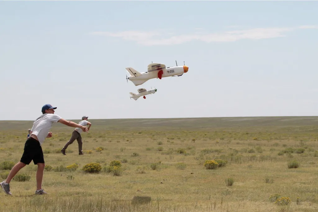
In a study published in the Journal of Atmospheric and Oceanic Technology, Tasim and Sun present a novel framework for reconstructing four-dimensional atmospheric wind fields using coordinated UAS swarms. The research addresses the limitations of conventional instruments, which often leave spatial and temporal gaps in the lower atmospheric boundary layer. Individual UAS platforms, while flexible, only sample wind along their flight trajectories, making full wind-field recovery challenging.
To overcome these limitations, the researchers employed a synthetic turbulence environment and high-fidelity multirotor simulation to generate training and evaluation data. They used a bidirectional long short-term memory network (Bi-LSTM) to estimate local wind components from UAS dynamics. These estimates were then assimilated into a physics-informed neural network (PINN) to reconstruct a continuous wind field in space and time.
The study found that the Bi-LSTM achieved root-mean-square errors (RMSE) of 0.064 and 0.062 meters per second for the north and east wind components in low-wind conditions. These errors increased to 0.122 to 0.129 meters per second under moderate winds and 0.271 to 0.273 meters per second in high-wind conditions. The vertical component exhibited higher error, with RMSE values ranging from 0.029 to 0.091 meters per second.
The physics-informed reconstruction successfully recovered the dominant spatial and temporal structure of the wind field up to 1000 meters altitude, preserving mean flow direction and vertical shear. Under moderate wind conditions, the reconstructed mean wind field achieved an overall RMSE between 0.118 and 0.154 meters per second across evaluated UAS configurations, with the lowest error obtained using a five-UAS swarm.
This research demonstrates that coordinated UAS measurements can enable accurate and scalable four-dimensional wind-field reconstruction without the need for dedicated wind sensors or fixed infrastructure. For the energy sector, particularly wind energy, this technology could enhance the accuracy of wind resource assessment, improve turbine placement, and optimize energy production. Additionally, it could contribute to better weather forecasting and hazard prediction, benefiting various industries and public safety efforts.
This article is based on research available at arXiv.