Researchers from Purdue University, including Arya Chavoshi, Hassan Dashtian, Naveen Sudharsan, and Dev Niyogi, have developed a new method to improve the monitoring of urban heat islands (UHIs) by addressing a common challenge in satellite data: cloud cover. Their work, published in the journal Remote Sensing of Environment, focuses on reconstructing Land Surface Temperature (LST) data that is often obscured by clouds, providing more continuous and reliable information for urban heat management.
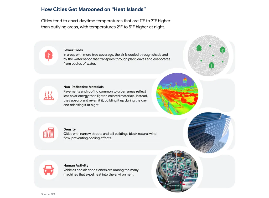
Urban heat islands occur when cities become significantly warmer than their surrounding rural areas due to human activities and urban infrastructure. Monitoring these temperature differences is crucial for understanding and mitigating the impacts of UHIs on energy consumption, public health, and urban planning. Satellite-derived LST data is a key tool for this monitoring, but clouds frequently block these observations, limiting their usefulness. Existing methods for filling in these gaps often rely on additional data sources or statistical approaches that can degrade in accuracy, especially under dense cloud cover.
The researchers introduced a new approach called UrbanDIFF, which uses a type of artificial intelligence model known as a denoising diffusion model. This model is designed to reconstruct LST data by leveraging spatial information from urban structures, such as built-up areas and elevation data. Unlike previous methods, UrbanDIFF does not require additional temporal or multisensor data, making it more robust under persistent cloud cover. The model also ensures that the reconstructed data remains consistent with the cloud-free pixels that are available.
To test UrbanDIFF, the researchers used NASA MODIS Terra LST data from seven major U.S. metropolitan areas over a period spanning from 2002 to 2025. They simulated cloud cover ranging from 20% to 85% and found that UrbanDIFF consistently outperformed traditional interpolation methods, particularly under high cloud coverage. At 85% cloud coverage, UrbanDIFF achieved a Structural Similarity Index (SSIM) of 0.89, a Root Mean Square Error (RMSE) of 1.2 Kelvin, and an R-squared value (R2) of 0.84. These results indicate that the model provides accurate and reliable reconstructions even under extreme cloud conditions.
The practical applications of this research for the energy sector are significant. Accurate and continuous LST data can help energy providers better understand and predict demand fluctuations related to urban heat, optimize cooling strategies, and improve the efficiency of urban energy systems. Additionally, urban planners and policymakers can use this data to design more resilient and sustainable cities, reducing the overall energy footprint and enhancing the well-being of urban residents.
Source: Remote Sensing of Environment
This article is based on research available at arXiv.